- 1.Foreword and accountability.
-
2: From the beginning till around 800AD.
- 2.1: It all starts with the history of Huisduinen.
- 2.2: What did the landscape look like around 800AD?
- 2.3: Landscape Den Helder around 800AD.
- 2.4: How was the peatland reclaimed?
- 2.5: Villages, trade and other means of subsistence around 800AD.
- 2.6: Live, houses and "villages" around 800AD.
- 2.7: Historical village names.
- 2.8: About Romans, Vikings, Danes and Norwegians.
- 3: Next.
Sources and References:
-
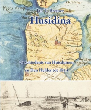
Book: Jan. T. Bremer - "Husidina".
Book: Jan. T. Bremer - "Husidina". -
Husidina from the 9th century. Information about Huisduinen on Wikipedia (in dutch)
-
paleographic maps (pdf). 13 Paleographic maps of the Netherlands from around 9000BC upto 2000AD.
From: "Rijksdienst voor het cultureel Erfgoed" van het Ministerie van Onderwijs, Cultuur en Wetenschap.
- - -
"National Cultural Heritage Agency" of the Ministry of Education, Culture and Science.
These maps show how the Dutch landscape has changed over the centuries. -
History of Wieringen. - Website with information about the history of Wieringen, from prehistory to the second world war. There is a partial english version of this website.
-
History of the Zijpe expanded. - Information from the Zijper museum about the historie of Zijpe. But it also contains a lot of information about the area from Den Helder and Huisduinen and southward.
-
719-739: building the first church of Petten. - Information from the Zijper museum about building the first church of Petten. But also the influence it had on the area around Texel and Huisduinen.
-
All Saints' Floods. Wikipedia links to the 4 most important floods that had an enormous impact on the entire area of North Holland and Huisduinen. Those floods changed the landscape so much, that it resulted in major changes in habitation and development.
-
Info center Vikings on Wieringen. Infocenter, has expositions, shop, field trips, teaching programs and so on.
-
"Master Henk, ferocious vikings". and "Master Henk, vikings". Site from a schoolteacher who studied history in Amsterdam and now teaches history. Info about the early days around romains, vikings, middle ages etc.

